Digital Earth Australia (DEA) is a an initiative by Geoscience Australia, an agency of the Australian Government. It creates free and open satellite data products for Australia.
DEA services include many of their pre-processed, higher level products, such as:
- Surface reflectance
- Fractional vegetation and ground cover
- Coastlines
- Water observations
In addition to creating and curating data products, they maintain several tools, which are listed below.
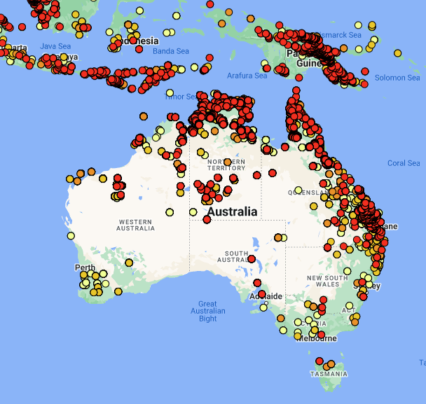
DEA MAPS
A graphical map with their pre-processed, higher level products.
DEA Product Catalogue
A catalogue of data, featuring multiple access methods (download via DEA Maps, direct file access, or using their DEA ODC Python Sandbox)
DEA’s Open Data Cube (ODC) Sandbox
DEA’s ODC Sandbox is a cloud-based sandbox with a custom Python environment. It provides access to Python tools and in-house data through Geoscience Australia’s Open Data Cube Python library.