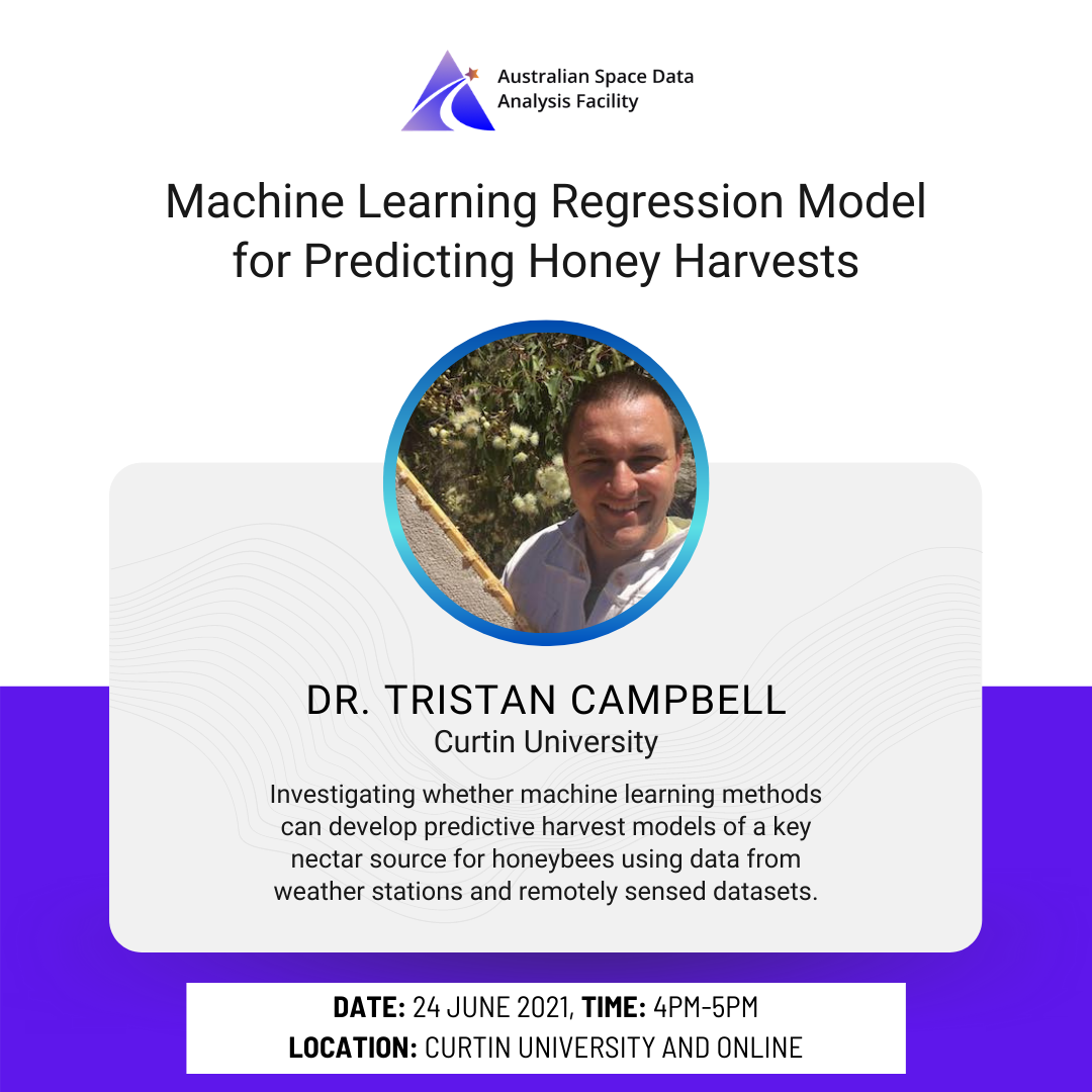
Machine Learning Regression Model for Predicting Honey Harvests

Curtin University - Building 216, Level 2, ICP Colab Area

The Australian Space Data Analysis Facility (ASDAF) is hosting a FREE event, investigating whether machine learning methods can develop predictive harvest models of a key nectar source for honeybees using data from weather stations and remotely sensed datasets. The seminar will be presented by Dr Tristan Campbell. Tristan is an experienced geoscientist, with over 20 […]

A Remote Sensing Approach To Mapping Fire Severity in South-Eastern Australia Using Sentinel-2 and Random Forest

Online WebEx

The Australian Space Data Analysis Facility (ASDAF) is hosting a FREE event this week, exploring A Remote Sensing Approach To Mapping Fire Severity in South-Eastern Australia Using Sentinel-2 and Random Forest. Accurate and consistent broad-scale mapping of fire severity is an important resource for fire management as well as fire-related ecological and climate change research. Remote sensing and […]

WA’s Digital Economy – Innovation and opportunity Event

Curtin University - Building 216, Level 2, ICP Colab Area

Join Professor Peter Klinken, WA’s Chief Scientist, in a showcase of WA’s digital economy through the perspective of leading WA data, cyber, space and compute facilities.  At this virtual event, the Chief Scientist will present updates from Directors of the Australian Space Data Analysis Facility, WA’s Data Science Innovation Hub, WA’s AustCyber Innovation  Hub and the Pawsey Supercomputing Research Centre and explore […]

Integrating satellite imagery and environmental data to predict field-level cane and sugar yields in Australia using machine learning

Online WebEx

The Australian Space Data Analysis Facility (ASDAF) is hosting a FREE event this week, exploring the integration of satellite imagery and environmental data to predict field-level cane and sugar yields in Australia using machine learning This session will be delivered by Dr. Yuri Shendryk, a GIS and Remote Sensing Specialist. Dr Yuri Shendryk is a GIS and Remote Sensing […]

[CLOSED]Perth Sundowner – part of Advancing Earth Observation Mini Forum 21

Old Perth Boys School 139 St Georges Terrace, Perth, Western Australia

To wrap up the virtual Mini Forum held by Earth Observation Australia, The Australian Space Data Analysis Facility is holding the AEO Mini Forum Perth Sundowner Event on the 25th August 2021. Enjoy a night of networking and intriguing discussion topics around earth observation such as possible opportunities, emerging trends, transitioning into the space sector, […]

[OPEN NOW!] EOI Information Session: Unlocking Space Data I ASDAF

Online WebEx

Following the recent launch of our Expression of Interest process, join our information session where we explain and take you through the process and selection of specialised  space data analytics project for Australian SMEs ready to validate and prototype to the market. If you are an established Australian SME ready to take your robust product or service […]

Introduction to Python and Earth Observation Data Using Google Earth Engine

Curtin University 209 Kent Street, Perth, Western Australia

Join us for an IN-PERSON four-day bootcamp where you will learn the  tools and techniques for analysing and using earth observation data. In particular, this bootcamp will provide an introduction to the Python programming language, the Pandas library, and the Plotly visualisation tool. It will also provide you with a foundational understanding of Google Earth […]

InletTracker: An open-source Python toolkit for historic and near real-time monitoring of coastal inlets from Landsat and Sentinel-2

Online WebEx

The Australian Space Data Analysis Facility (ASDAF) is hosting a FREE event this week, exploring InletTracker: An open-source Python toolkit for historic and near real-time monitoring of coastal inlets from Landsat and Sentinel-2. Despite their high ecological and socio-economic significance, there is often a lack of knowledge on the long-term dynamics of intermittent coastal inlets such as those found […]

Using satellite imagery to evaluate pre-contact Aboriginal foraging habitats in the Australian Western Desert

Online WebEx

Modern satellite imaging offers radical new insights of the challenges and opportunities confronting traditional Aboriginal ecology and land use in Australia’s Western Desert. Here Dr.  Wallace Boone Law shows an approach to model the likely dynamics of historic and pre-contact desert land use using Earth observation data to identify the distribution of suitable foraging habitats. […]

Accessing Space Data Series: Amazon Web Services

The Australian Space Data Analysis Facility is hosting a three (3) part online series called “Accessing Space Data” where we explore the ways that you can access available space data and provide you with the resources and tools to freely explore how you can unlock space data – whether it’s in your day to day […]